Mt. Beidawu & Xiduoli Cliff D2 Waypoint
10 May 2025 6 waypoints 10 photos 16.58 km

Trail Log

11 5 km to the summit
3,084 m1,194↓2 h 44 min 3.56 km ↑871 m


12 Takasago Volunteer Army Monument
3,084 m1,194↓2 min 50 m ↑11 m


13 Dawu Ruins (Dawu Temple)
3,084 m1,194↓1 h 15 min 910 m ↑109 m ↓31 m
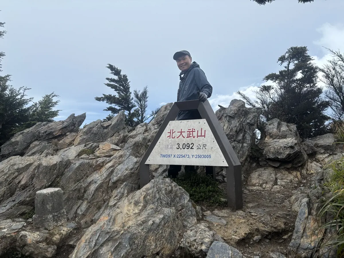
Taken by a fellow hiker. EXIF 2025-05-10 07:25:07, coordinates 3 meters from this point; the sign reads an elevation of 3,092 meters, TWD97 X:225473 Y:2503005. Waypoint 14 on hb was ‘recording resumed’ pressed here at 07:41; the GPS drifted 1.9 km away and has been repositioned to the station. 14 Mt. Beidawu Triangulation Point
The original recording's coordinates put this point 2.0 km away; it has been re-positioned using the track point from the same instant (off by 0s)
3,084 m1,194↓1 h 41 min 3.05 km ↑29 m ↓624 m

15 Dawu Giant Tree
3,084 m1,194↓4 h 44 min 8.79 km ↑114 m ↓1409 m

19 Summit completed
3,084 m1,194
Start of record03:36 2115 m 0 km Kuaigu Inn
↓4 min 220 m ↓10 m


End of record14:05 1197 m 16.58 km Beidawu New Trailhead
← Back to D2 card