Everest Base Camp & Gokyo Lake D11 Waypoint
2 May 2026 15 waypoints 20 photos 11.99 km

D11 Itinerary
Today's distance is long, but since it's a descent the whole way, everyone found it an easy walk. There are plenty of pavilions for resting along the way down, and at Waypoint 177 there's a boulder with a viewpoint overlooking the valley that you can climb up onto for photos. The trail finally drops all the way down into the valley to RIVER SIDE LODGE, with its red roof.

Since it's down in a valley, the internet signal here is poor, and it's quite humid — make sure you stay warm, especially keeping your head dry and out of the wind. If you can get up early, the sunlight hitting the valley walls in a golden glow is beautiful — catch that 30-minute window for some great photos.
Trail Log

169 Recording Resumes
4,759 m4,026↓38 min 1.79 km ↑13 m ↓39 m

170 Pavilion
4,759 m4,026↓23 min 1.07 km ↓38 m

171 Short Break
4,759 m4,026↓33 min 970 m ↓127 m


173 Short Break at the Pavilion
4,759 m4,026↓23 min 590 m ↓79 m

174 Junction Sign
4,759 m4,026↓13 min 510 m ↑23 m ↓23 m

175 Stone Marker
4,759 m4,026↓4 min 180 m

176 Restroom Stop
4,759 m4,026↓2 min 0 m

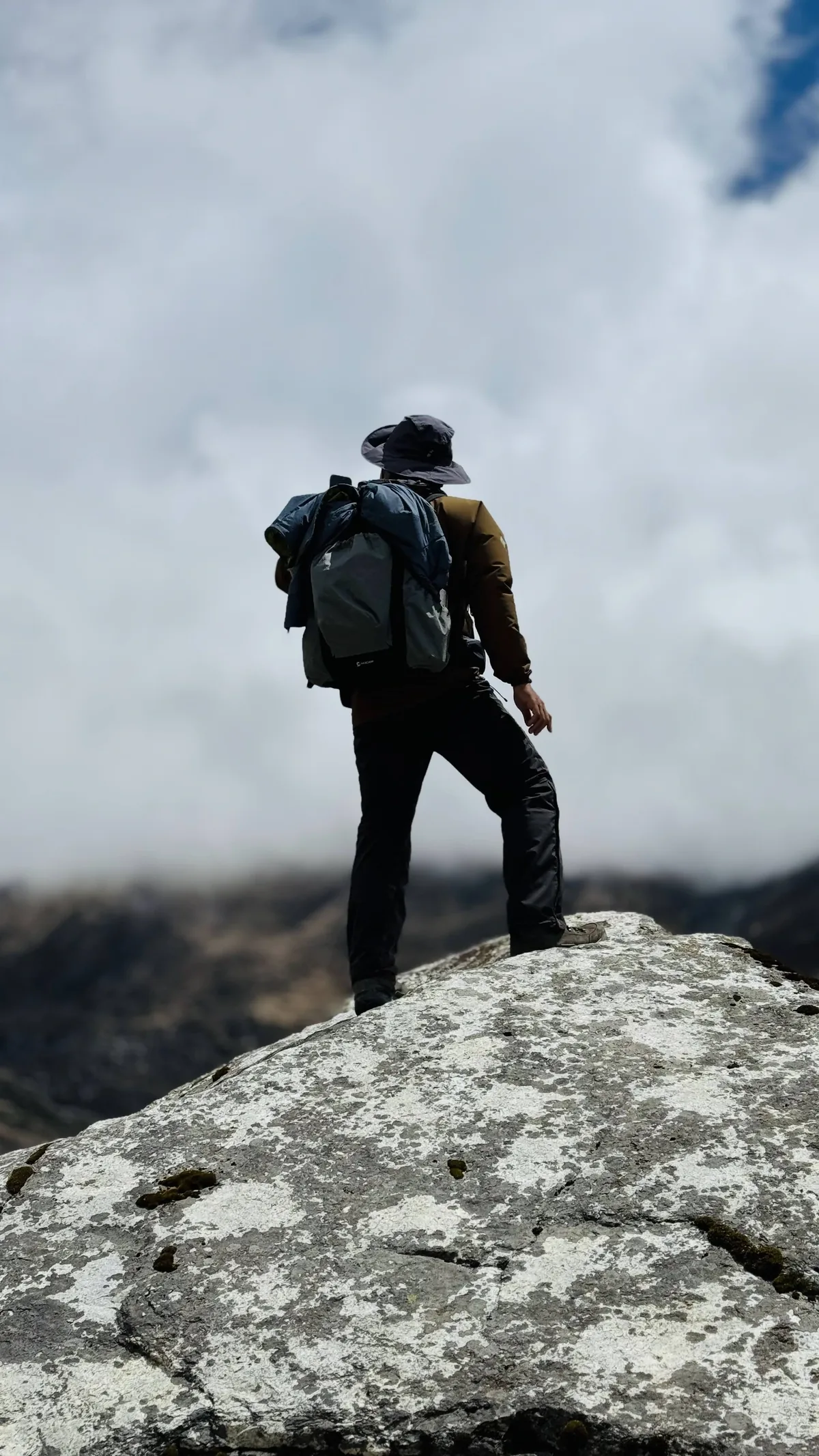
Taken by a fellow hiker, with me on the same boulder. EXIF 2026-05-02 10:10:22 (+05:45), coordinates 7 m from this point, elevation reading 4466.6 m (this point is recorded as 4474 m). 177 ViewpointMentioned in text
4,759 m4,026↓27 min 1.38 km ↑24 m ↓24 m


178 Short Break at the Pavilion
4,759 m4,026↓13 min 460 m ↓86 m

180 Bridge
4,759 m4,026↓2 min 50 m ↑14 m


181 PEACEFUL LODGE
4,759 m4,026↓1 h 37 min 60 m

182 Recording Resumes
4,759 m4,026↓27 min 1.14 km ↑47 m ↓101 m

183 Mannequin
4,759 m4,026↓50 min 2.29 km ↑16 m ↓70 m

184 Short Break
4,759 m4,026↓35 min 1.50 km ↓268 m

185 RIVER SIDE LODGE
4,759 m4,026


End of record14:22 4030 m 11.99 km River Side Lodge
← Back to D11 card