Bilu-Yangtou Traverse D3 Waypoint
13 Sep 2026 3 waypoints 3 photos 3.03 km

D3 Itinerary
Everything climbed on the first day has to be paid back today as one continuous steep descent. Trekking poles are essential, because there isn't always vegetation to grab. Above all, the second day's lingering fog and drizzle made this thousand-metre descent a real challenge on Day 3: stay focused, and don't look around or chat while moving. Just before the trailhead there is a pitfall at mark 32, so take care passing it. I left camp at 04:40 and was back at the trailhead about 4 hours later
Trail Log

30 Recording resumed
The pole on the right of the photo looks bent because I slipped and fell on the way back on Day 2 and bent it, and this is after I straightened it. Once more: on the saw-tooth peaks in wet weather, you need a hundred and twenty percent of your concentration
3,050 m2,015↓3 h 38 min 2.58 km ↑26 m ↓896 m

32 Watch the pitfall
3,050 m2,015↓21 min 430 m ↓123 m

33 Done ✅
3,050 m2,015
Start of record04:40 3003 m 0 km Judong Shelter
↓20 m


End of record08:39 2000 m 3.03 km Yangtou Mountain Trailhead
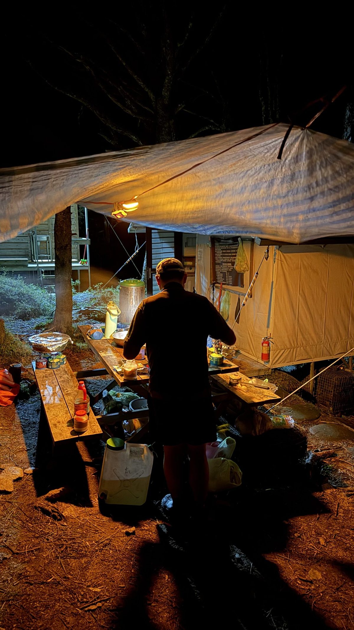
Finally, special thanks to Ajun, our guide from Nantou, who kept the campsite spotless every day — that's him busy in front of the shelter in the photo at mark 13. When I fell on the way back on Day 2 and bent my trekking pole, he helped me fix it too, so I still had a pole for the thousand-metre descent on Day 3. My sincerest thanks to him