Bilu-Yangtou Traverse D2 Waypoint
12 Sep 2026 16 waypoints 25 photos 6.21 km

D2 Itinerary
The northeast monsoon turned a fine first evening into drizzle and fog that fell almost all night, and after we set off at 03:30 it kept on for a good while before stopping. That left the dwarf bamboo between camp and Mt. Bilu soaking wet, and the ground covered in wet roots and rocks that could not be trusted at all — no step could rely on a single point of contact
The saw-tooth peaks
About a kilometre and 200 metres of climbing after leaving camp you reach Jushan Sixth Peak at mark 17, and this is where the saw-tooth ridge begins. Heading towards Mt. Bilu the peaks come in order — sixth, fifth, Jushan, third, second, first — and then one more, Jushan Front Peak: up and down all the way, with several roped descents. On the ropes you can't always see the foothold below and have to feel for it with your foot; if you go with others, look out for each other and call out the footholds. Crossing the saw-tooth peaks with a full pack is miserable, which is why a two-day Bi–Yang is actually harder than a single-day push or three days: in two days you carry the full pack the whole way. There is also a lot of dense dwarf bamboo, and in bad weather, unless you are fully protected by waterproofs, you will get completely soaked — I found that every Gore-Tex item on me was soaked through — a rain jacket, rain trousers and rain boots are the true holy trinity for hiking Taiwan's high peaks
Around 06:30 near Jushan Third Peak at mark 20 the fog opened up a little and I even saw a small ring of rainbow in the mist, usually called a glory — a small joy on a thoroughly soaked day. From the left turn up the scree slope at mark 22 to the top of the slope at mark 23 the ground is loose rock that falls easily, so keep your distance from the person ahead. Two sections have ropes to help; in rain it is very slippery and you must move carefully. The upside is that it isn't exposed to the sun the way it is on a clear day — on a clear day this stretch bakes you from above and steams you from below as the rock soaks up the heat
Mt. Bilu
Past Jushan Front Peak you go by the Bilu campsite at mark 26 and the junction at mark 27, and in under 10 minutes reach the 3,371 m summit of Mt. Bilu; from camp it took me about 5 hours including rests. The summit was a whiteout that day, the wind was strong, and after a whole night of fog and drizzle the air was heavy with damp, so nobody stayed long — we headed back to somewhere out of the wind to rest, eat and drink
On the way back to camp the same way, you no longer have the problem of not seeing footholds below, but with the weather still wet you can't trust the footholds you step on. Never let go of the rope, and keep your hand on the knots for extra friction; gloves are essential. Even the roots and rocks you can reach aren't necessarily solid enough to haul yourself up on by strength alone — you still need your feet, and your feet are back to wet footholds you can't trust. So the key is getting your hands on the rope's knots and your feet on good footholds to work together. On the return it took me a little over 4 hours back to camp, including rests
Perhaps from walking more than eight hours straight in the wet all day, back at camp I still felt very cold even after changing clothes. Mr. Tsai, one of the hikers in our group, gave me a Japanese EVE tablet (a fever and pain reliever from SS Pharmaceutical, mainly ibuprofen); I took it, slept, and woke up fully revived for Day 3. My special thanks to him
Trail Log

14 Recording resumed
3,372 m2,985↓29 min 390 m ↑16 m ↓25 m

15 Sit-down rest
3,372 m2,985↓33 min 500 m ↑130 m

16 Rest platform
3,372 m2,985↓15 min 120 m ↑42 m

17 Jushan Sixth Peak — the saw-tooth peaks begin
3,372 m2,985↓23 min 270 m ↑32 m ↓10 m


18 Bi–Yang landmark tree
3,372 m2,985↓43 min 440 m ↑122 m

19 Jushan
3,372 m2,985↓35 min 190 m ↑50 m ↓33 m


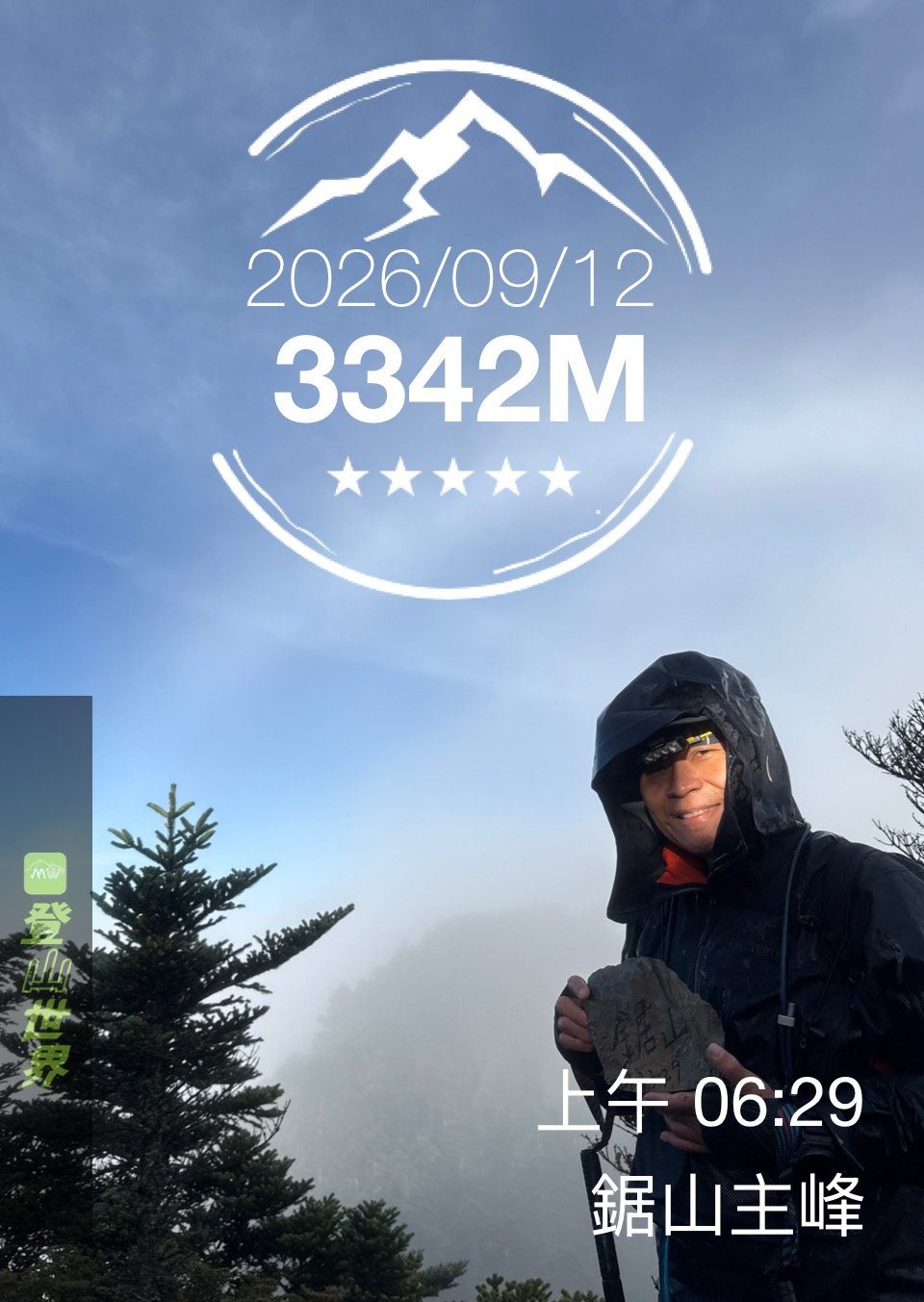
Check-in photo holding the Jushan stone (hiking app stamp), 2026-09-12 06:29 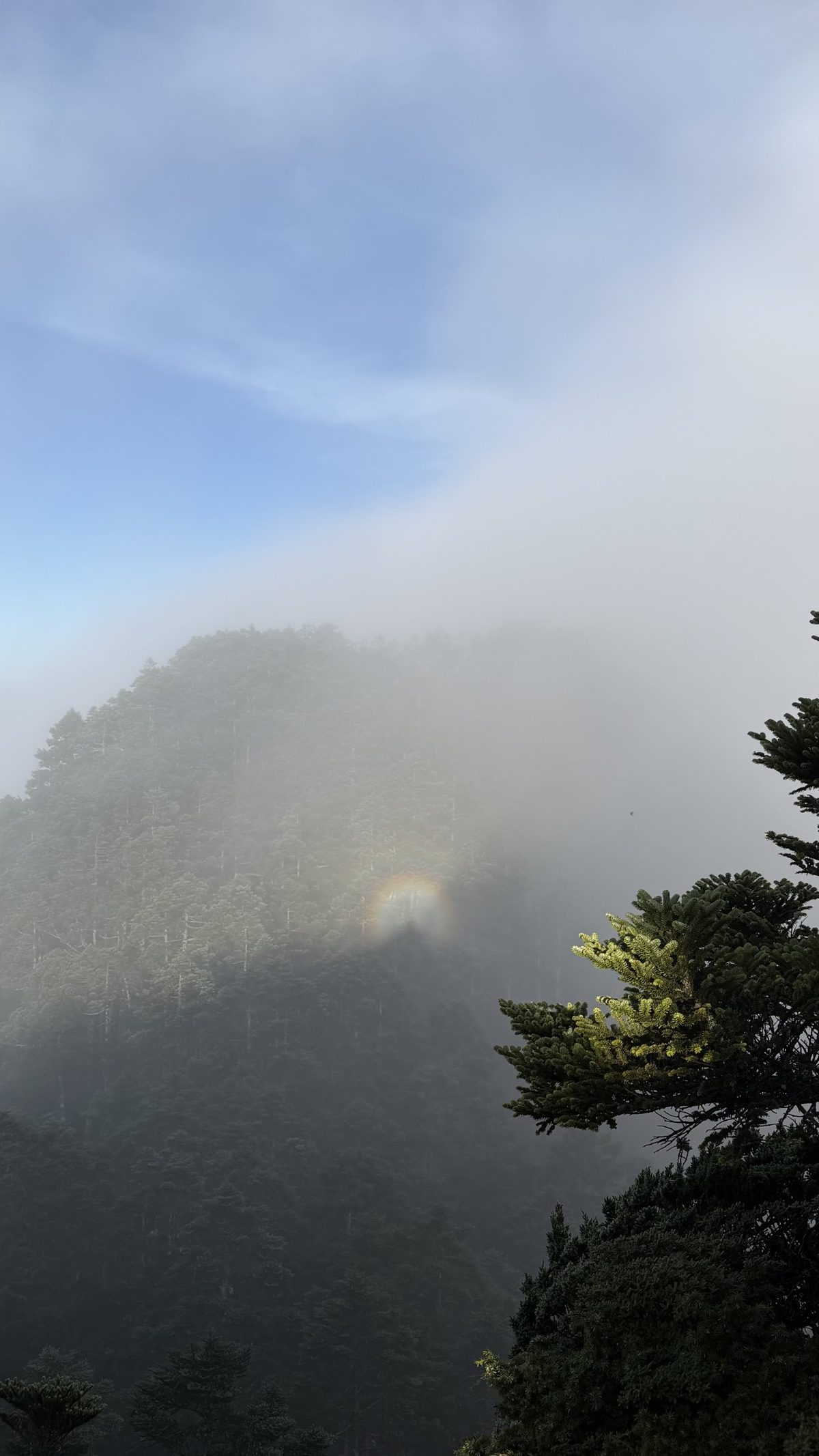
A small ring of rainbow in the fog (a glory), 2026-09-12 06:31 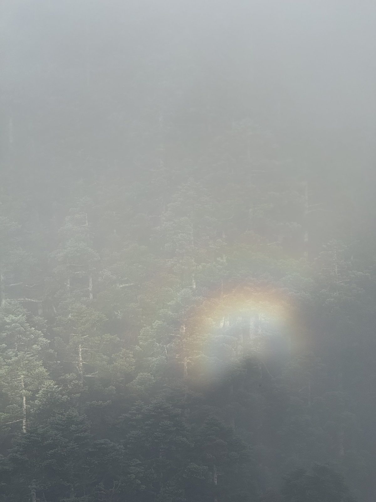
The glory up close, 2026-09-12 06:31 20 Jushan Third Peak
3,372 m2,985↓18 min 50 m ↓20 m

21 Viewpoint
3,372 m2,985↓28 min 320 m ↓71 m


22 Turn left up the scree slope
3,372 m2,985↓16 min 120 m ↑68 m

23 Top of the scree slope
3,372 m2,985↓11 min 100 m ↑13 m


24 Jushan First Peak
3,372 m2,985↓14 min 110 m ↑23 m

25 Jushan Front Peak
3,372 m2,985↓21 min 260 m


26 Bilu campsite
3,372 m2,985↓4 min 110 m

27 Junction
3,372 m2,985↓7 min 70 m ↑18 m

28 Mt. Bilu summit
3,372 m2,985↓4 h 47 min 3.16 km ↑185 m ↓544 m

29 Back at camp
3,372 m2,985


End of record13:14 3003 m 6.21 km Judong Shelter
← Back to D2 card